Redistricting runs on a decennial clock with federal deadlines at the front and state discretion everywhere else: the Census Bureau delivers apportionment counts by December 31 of the census year under 13 U.S.C. Section 141, the detailed redistricting data file follows within a year under the terms of Public Law 94-171, and states then draw congressional and legislative maps through their own processes — legislatures or commissions — with map litigation typically consuming the next two to three years. Nothing in the Constitution or federal statute confines redraws to the census year, which is why the 2025 mid-decade round in Texas and the counter-moves it triggered in other states, including California's November 2025 ballot measure authorizing a temporary mid-decade congressional redraw, are lawful without any change in the rules.
What does the census clock actually require?
Two federal data deadlines, nothing more. The Secretary of Commerce must report apportionment population counts to the President within nine months of census day — by December 31 of the census year — and those numbers fix each state's share of the 435 House seats. The second deliverable is the redistricting data file: under Public Law 94-171, enacted in 1975, the Census Bureau supplies states the population counts by race, ethnicity, voting age, and housing units for the small geographic units states use to build districts, originally due within one year of census day. States may request an earlier delivery, and in 2021 the Bureau's pandemic-delayed schedule showed the deadline's flexibility in practice. After that, federal law exits: the deadlines for drawing maps are state deadlines, set in state constitutions and statutes.
Who draws the maps?
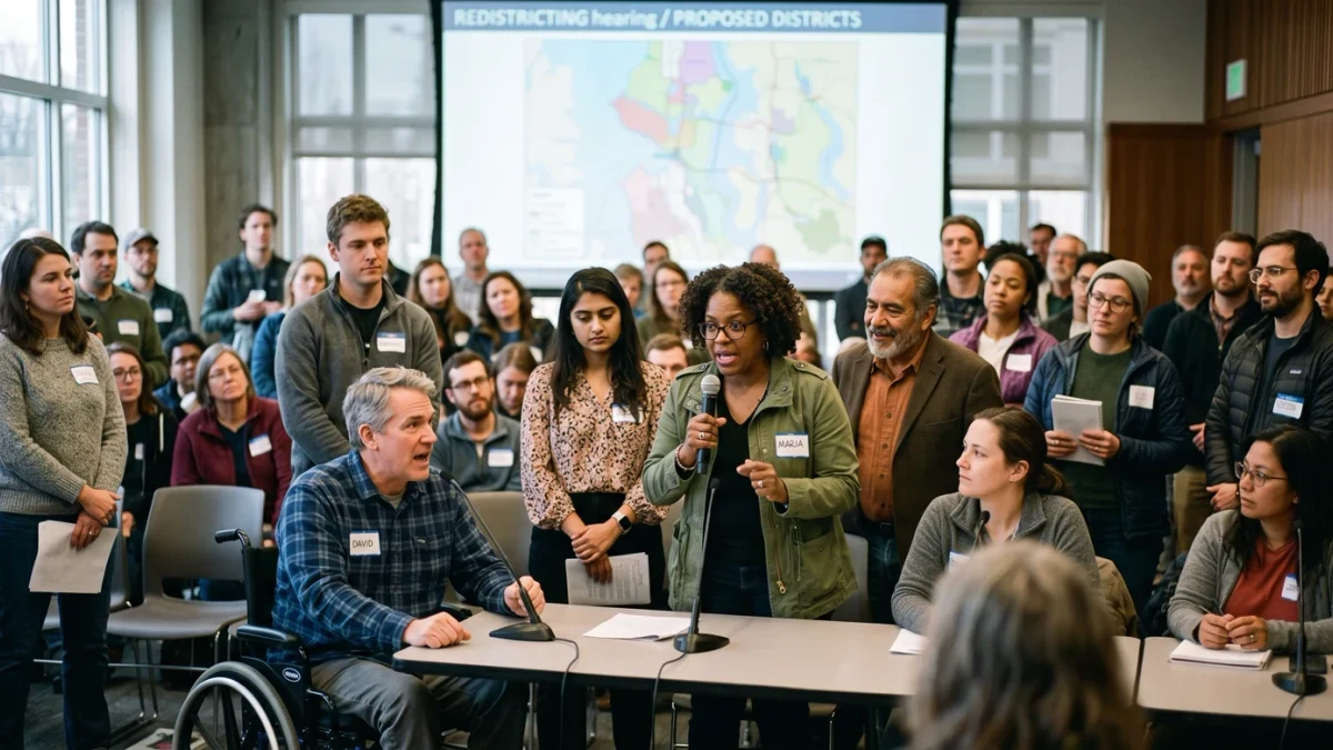
Mostly legislatures, but the commission share has grown. In the majority of states, the legislature passes a congressional and legislative map like any bill, subject to the governor's veto unless the process is exempted. A growing group uses commissions in some form: independent commissions in California, Arizona, Colorado, Idaho, Michigan, and Montana draw both congressional and legislative maps or congressional maps with binding force; Washington and New York run commission processes with a legislature backstop; and several states use politician or advisory commissions for legislative maps only. Iowa runs a unique nonpartisan staff-drafting model through its legislative services agency, with maps rejected or adopted by floor vote. The institutional design matters for timing: commission cycles have fixed statutory schedules with public hearings and draft rounds, while legislative processes move on session calendars and can move fast when the majority wants speed.
What rules bind the map itself?
The constitutional floor plus a stack of federal and state criteria. The floor is one person, one vote: congressional districts must be equal in population as nearly as practicable under Wesberry v. Sanders in 1964, and legislative districts face a somewhat looser standard under Reynolds v. Sims the same year. Section 2 of the Voting Rights Act, as narrowed by the Supreme Court's April 2026 ruling in Louisiana v. Callais, still bars redistricting schemes that deny voters an equal opportunity on account of race — with the decision's new emphasis on evidence of intentional race-based drawing reshaping how dilution claims are built. On top of the floor, states impose their own criteria: contiguity and compactness, respect for political subdivisions, and in a growing number of states, bans on maps drawn for partisan advantage, enforceable in state courts where the state constitution supplies the standard.
How fast do maps actually settle?
On a litigation clock, not a legislative one. After 2021, most states enacted maps within the first half of 2022, and the consequential fights then moved to court: districts in Alabama, Georgia, Louisiana, and Texas were redrawn or under court order through 2022-2025 as Section 2 and gerrymandering claims worked through the system, with some 2024 elections still run on court-drawn maps. The 2025 mid-decade round compressed the same dynamic into months — Texas enacted a new congressional map in 2025 ahead of the 2026 midterms, opponents sued, and California's countermeasure went to its voters on November 4, 2025 — and the resulting docket will shape districts used in November 2026. The pattern across cycles is consistent: a legal map is one that survives the lawsuit, and the deadline that matters is the one courts set for the coming election.
Can a state really redraw mid-decade?
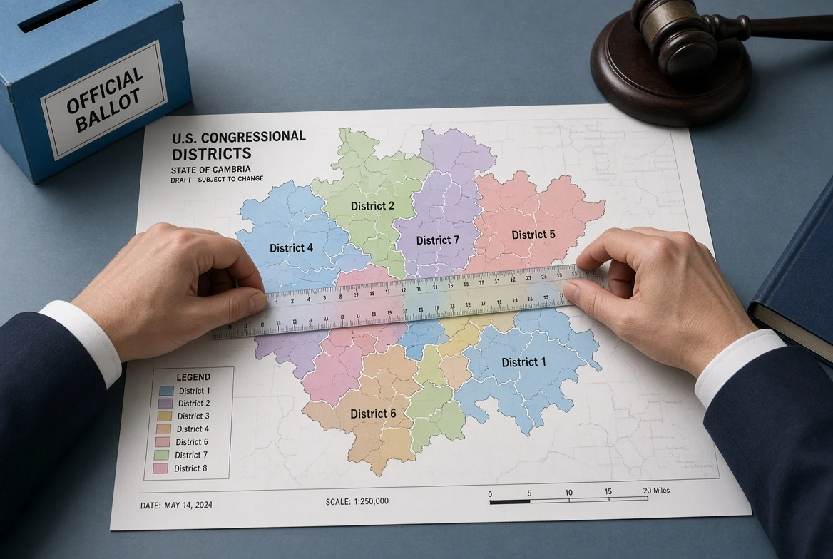
Yes, unless its own law says otherwise — and the counterargument deserves its statement. Federal law contains no prohibition on redrawing congressional districts between censuses; the Supreme Court affirmed in Karcher v. Daggett in 1983 and in later cases that mid-decade redraws are lawful, and roughly half the states permit them by default. A minority of states restrict themselves: Colorado bars mid-decade congressional redraws, and California's constitution long allowed them only after a new census or court order — which is precisely the provision its November 2025 measure suspended for a defined period, showing that even self-binding rules yield to the state's own amendment process. The exchanges of 2025 also produced a first for the modern era: mid-decade redraws pursued simultaneously by states on opposing sides, each justified by the other's move. The national consequence of the 2025 round is a standing fact, not a one-off: with maps litigation-tested and the Court's Section 2 doctrine in flux, the constraint on mid-decade redistricting is political cost and state law, not federal timing.
What does this change for 2026 and beyond?
The operative calendar is the one elections run on: districts for the November 2026 midterms are the maps in force when filing deadlines arrive, whatever their litigation status. The next full cycle starts with the 2030 census and the 2031-2033 map round, and the institutional changes made since 2018 — Michigan's and Colorado's independent commissions, New York's reworked process — will have completed their second full runs. For voters the practical unit is still the district boundary printed on the registration card: boundaries decide which ballot's races a voter sees, and every redraw, decennial or mid-decade, moves some voters into new electorates without anyone moving at all.