When dangerous weather threatens, alerts arrive on phones within minutes. Each alert carries a precise meaning. One agency sets those meanings, and it uses the same rules nationwide. Knowing the difference between a watch and a warning can change what you do next, and when.
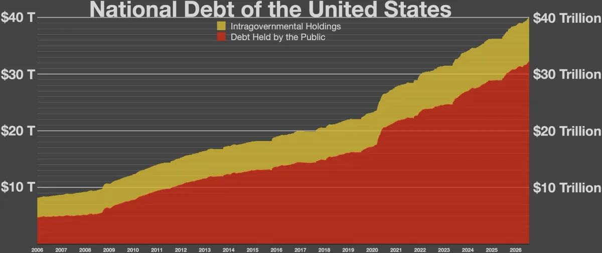
Here is who sends those alerts, and how the system works. The design has not changed much over the years. It is built on zones, criteria, and shared language. The alerts are plain by design. That is a feature. This connects to our earlier piece, What Is the National Debt and Who Owns It?.
Who Issues the Alerts
The National Weather Service is a government agency within the Department of Commerce. It operates under the National Oceanic and Atmospheric Administration. According to Wikipedia's guide to NWS severe weather terminology, the agency runs national centers plus 122 local Weather Forecast Offices. Those centers include the Storm Prediction Center and the National Hurricane Center. Some products come from the national centers. Most local alerts come from the forecast offices. The layers work together on the same storms.
Each forecast office covers a set area, known as a county warning area. Those areas are split into smaller forecast zones. That lets alerts target the neighborhoods actually at risk, rather than a whole region. The work runs around the clock, every day of the year.
Watch Versus Warning
The system sorts alerts by timing and threat level. A watch means conditions are favorable for dangerous weather. It is a heads-up, issued hours ahead. A warning means the hazard is happening or imminent. It rests on radar or trained spotters. Advisories sit in between, for events that are serious but less severe. The difference comes down to timing.
The color codes and radio codes may look like trivia. They are not. Phones and radios use those codes to sort alerts. The same codes let one alert reach many devices at once.
- Watch: favorable conditions; usually covers a large area for hours.
- Warning: a hazard detected or imminent; act immediately.
- Advisory: notable but lower-threat conditions; stay aware.
The Case of Tornado Alerts
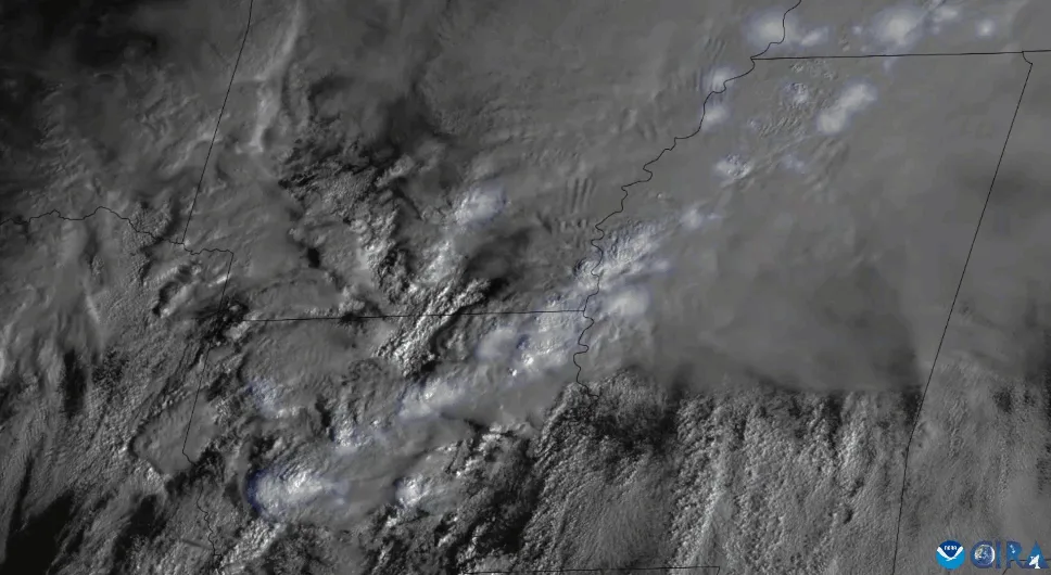
Tornado watches cover large areas. The Storm Prediction Center in Norman, Oklahoma issues them, and they are usually valid for five to eight hours. A tornado warning works differently. It is triggered when Doppler radar shows strong rotation in a storm. A trained spotter or a police officer who sights a tornado can trigger one too. Spotters are volunteers trained through a program called SKYWARN. The radar sees motion. People see the funnel. Both paths can set off the same alert.
Warnings are drawn as polygons around the threat, not blanket county areas. They usually last about 30 minutes, though they can run as long as one hour. For the most dangerous setups, forecasters can issue a "particularly dangerous situation" tornado watch. That signals that a major tornado outbreak may be possible.
More Than Storms
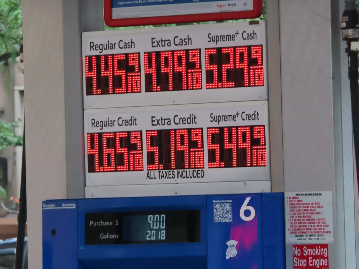
The alert system covers far more than tornadoes. The NWS defines products for winter storms, fire weather, flooding, and coastal hazards. It also covers marine conditions and tropical cyclone threats. Coastal areas get their own set of products. And it issues alerts for hazards without rain, such as extreme heat, extreme cold, dense fog, and high winds. Each product has set criteria, standard wording, and radio codes. The standard wording is the point. A flood warning means the same thing in every state. That shared language saves time when minutes matter. For related coverage, see Why Gas Prices Vary So Much by State.
Conclusion
The system works because it is standardized. The same words carry the same meanings, in every office, every time. Learn the watch-versus-warning line for your region. Then the next alert will arrive with a plan already built in. One more step helps. Check which alerts your phone can send. Turn on the ones for your area before storm season starts.